
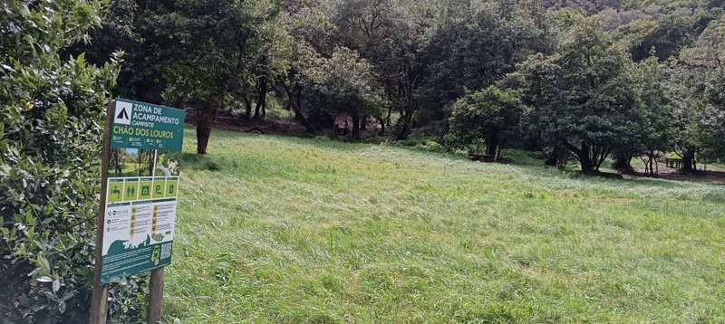
Vereda dos Chão dos Louros
Also known as: Laurel Floor Path
Circular laurel-forest walk with streamside paths, picnic and barbecue area, camping, and a viewpoint over São Vicente valley — ideal for families
Trail Overview
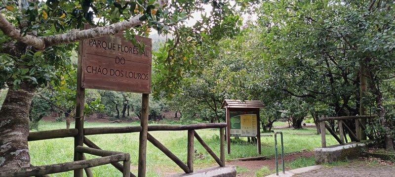
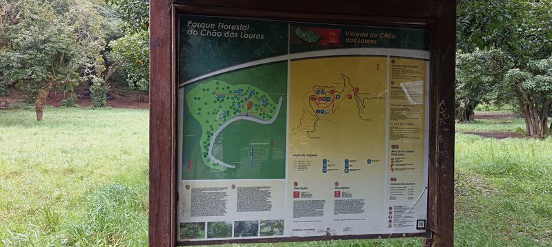
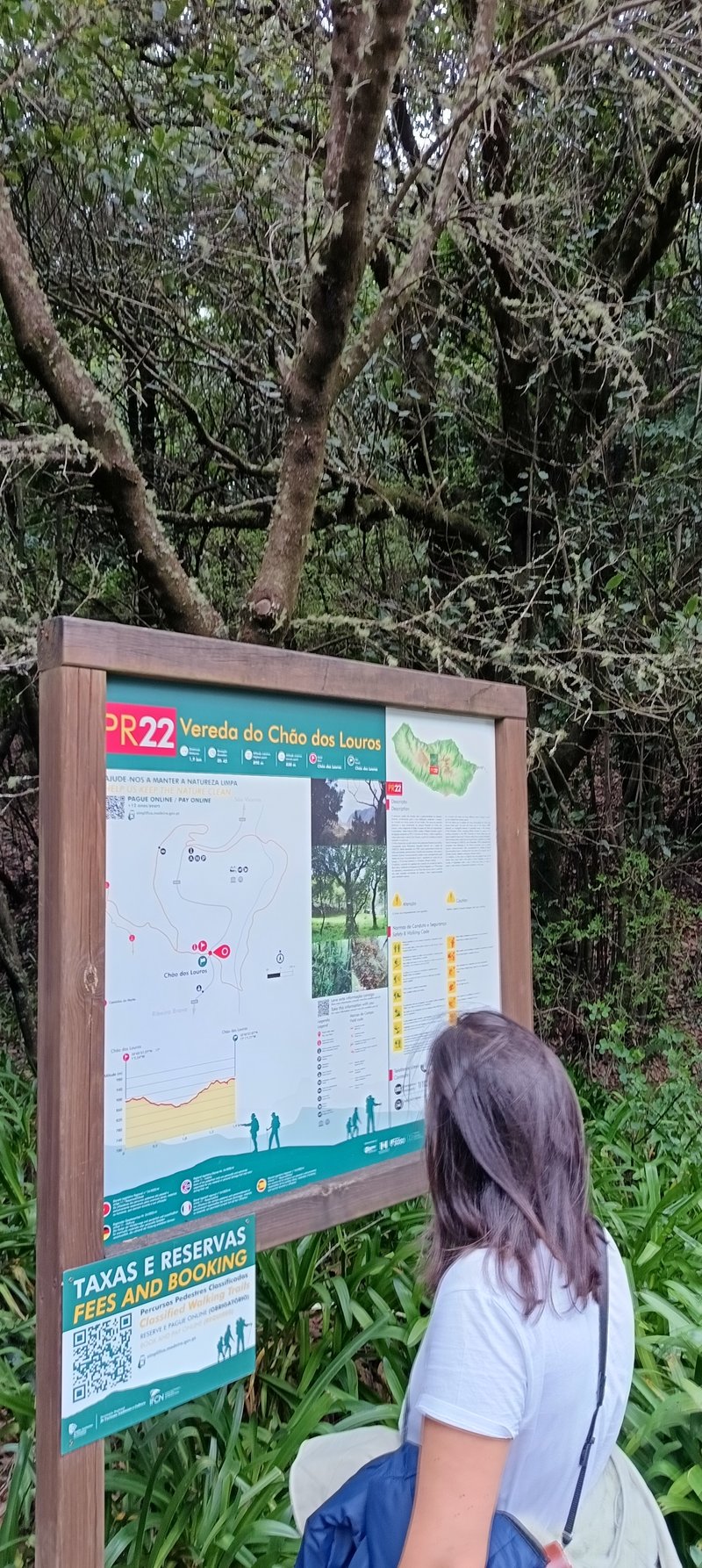
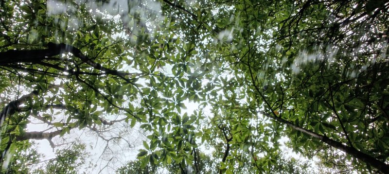
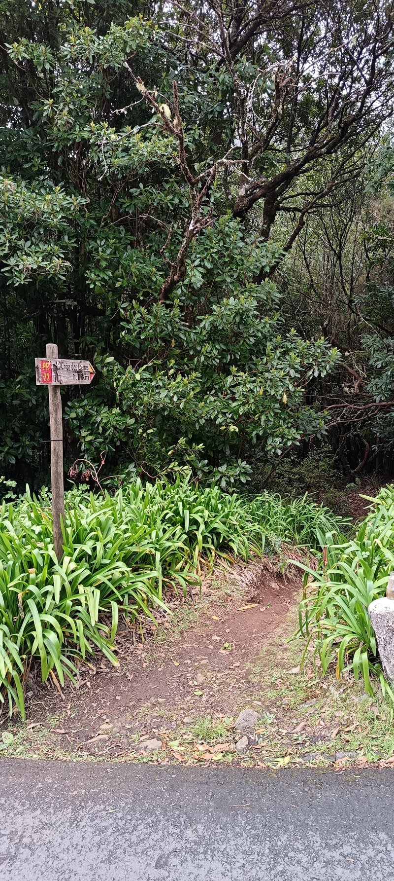
Vereda dos Chão dos Louros (PR22) is a easy vereda trail located in Madeira, Portugal. Starting from Chão dos Louros and ending at Chão dos Louros (Circular), this 1.9km route typically takes 0.5-1 hours to complete. Circular laurel-forest walk with streamside paths, picnic and barbecue area, camping, and a viewpoint over São Vicente valley — ideal for families. Stream crossing requires stepping across rocks; west section has fewer markers — follow standard hiking signs attentively
From the trail
Notes from our most recent on-the-ground visit.
Did this trail on Sunday, 19th April 2026, arriving around midday for a picnic with the kids. The picnic area at Chão dos Louros was almost empty — unusual for a Sunday with good weather in Madeira as summer approaches. The weather was pleasant with light rain at the start.
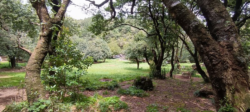
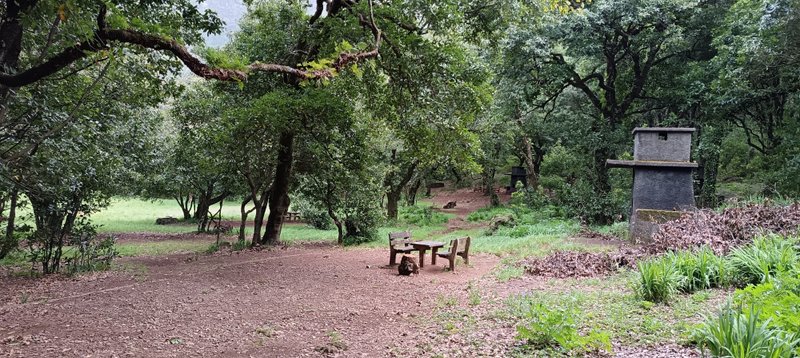
The area is one of Madeira's best picnic spots, very popular with locals, especially in summer. There are two large barbecue houses plus several smaller spots. Recent signage now explicitly allows camping, making this one of the island's best camping spots and a useful base for multi-trail tent trips.
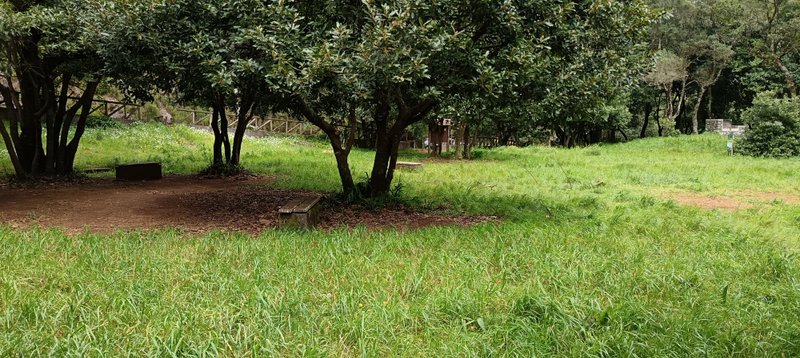
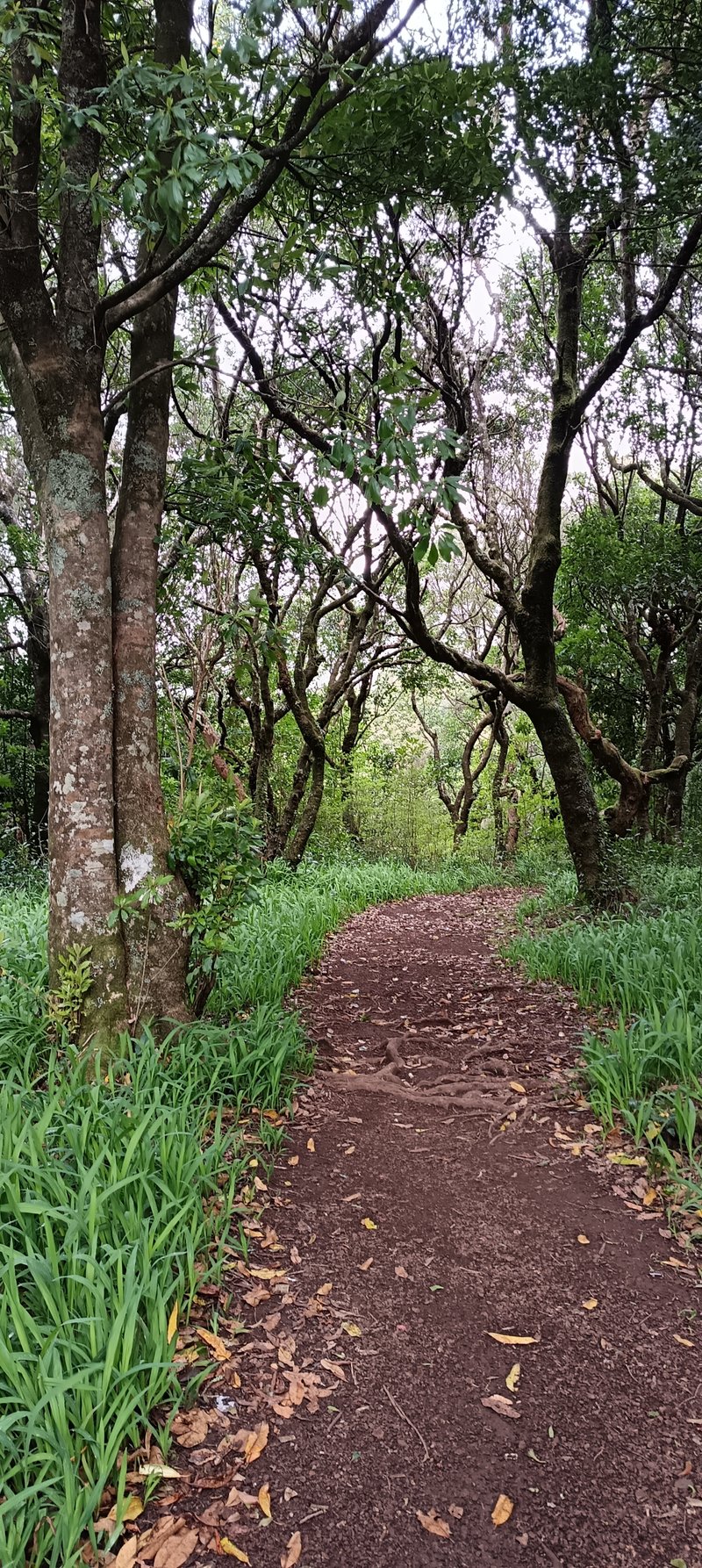
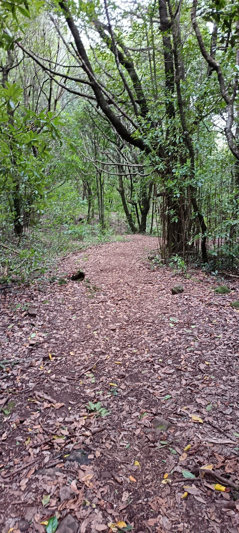
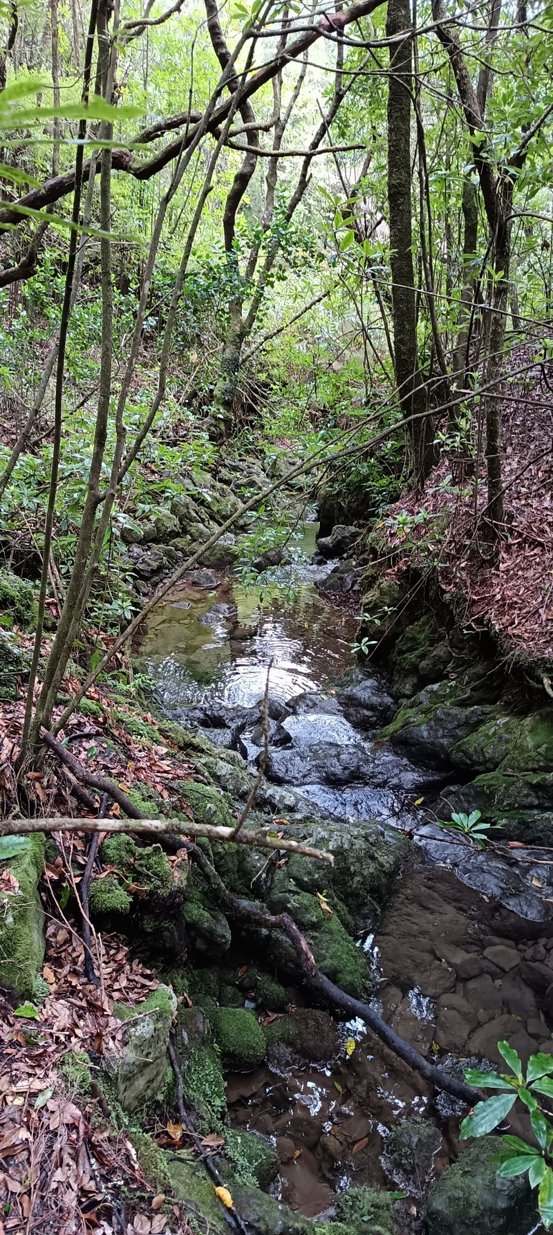
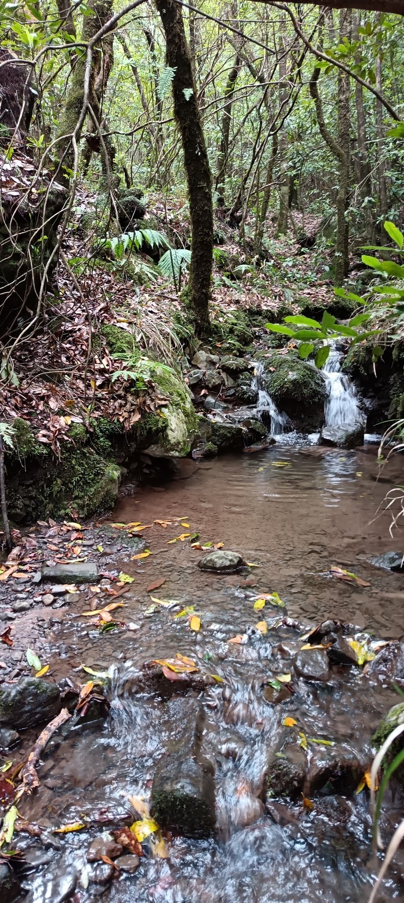
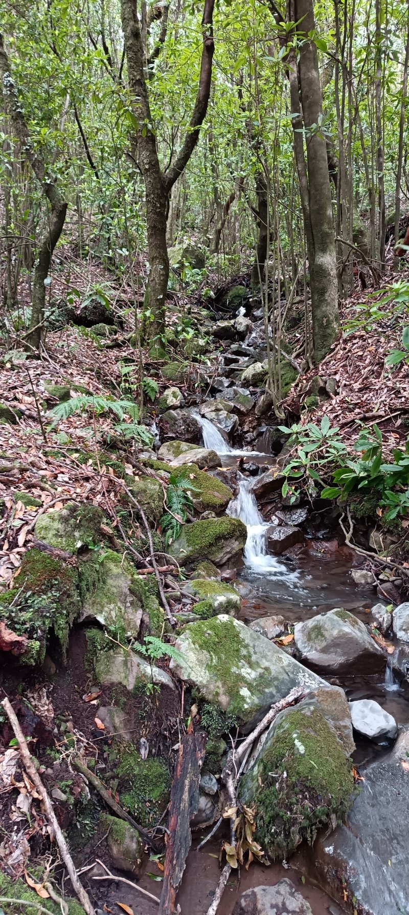
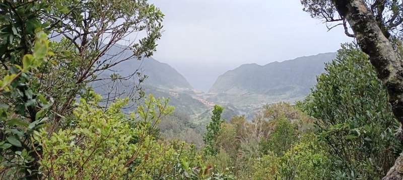
The hike is a circular route that follows a water stream with small ponds and waterfalls. Starting from the picnic area and going down, the path runs parallel to the stream with cute side diversions leading to quiet spots. After crossing the stream and the regional road, you ascend to a viewpoint overlooking the São Vicente valley — the village framed like a portrait at the bottom. Then you zigzag back down to complete the loop.
What surprised us
- Sunday at midday in good weather and the picnic area was almost empty — unusual for Madeira in the approach to summer.
- Camping is now allowed at Chão dos Louros — recent signage makes this explicit. One of the best camping spots on the island.
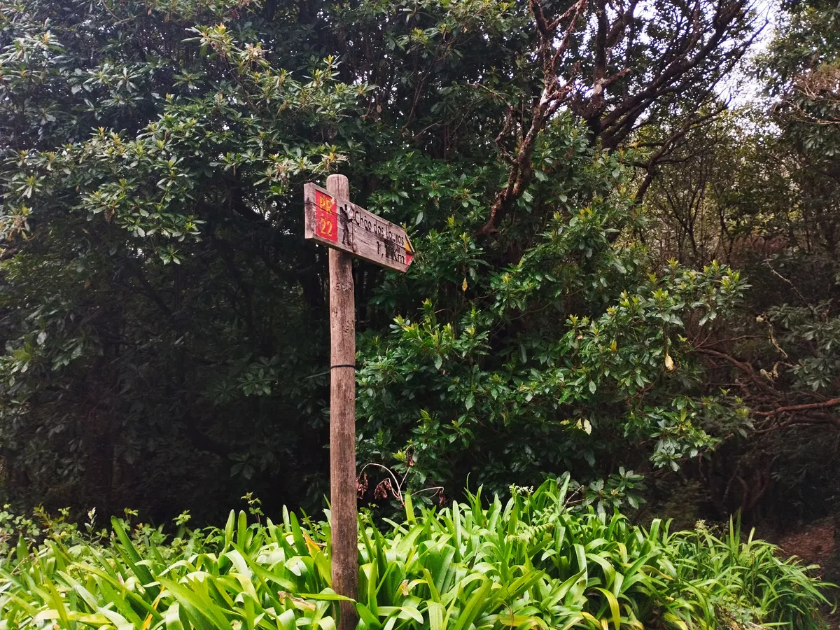
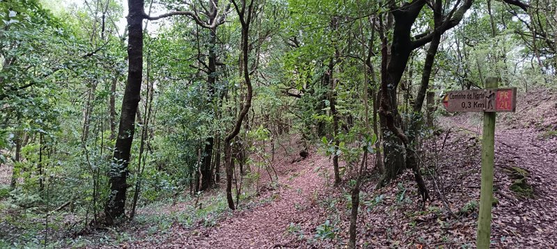
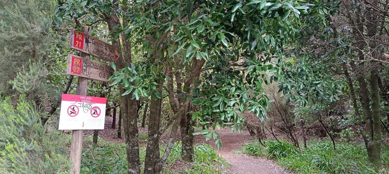
- West part of the trail is less well signed than the rest; you can still follow standard hiking-path markers, but be attentive there.
- Small side diversions off the streamside path lead to little waterfalls and quiet spots that aren't on the official route — worth it for photography or a contemplative pause.
- From the east-side viewpoint, the São Vicente valley frames the village like a moldura (picture frame) — specific composition worth noting for photos.
Practical tips from the hike
- **Combine with a picnic / barbecue**: two large barbecue houses + several smaller spots at Chão dos Louros. Bring takeaway food or grill supplies. Great with kids.
- **1st of May (Dia do Trabalhador)**: expect it to be packed with local families doing espetada — plan around it if you want quiet, or join in for the cultural experience.
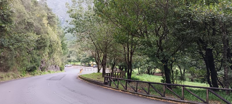
- **Approach drive is part of the experience**: coming from Encumeada (descent) or from São Vicente (ascent), the regional road through the laurel forest is itself worth the detour — skip the Via Rápida if time allows.
- **Public transport**: SIGA RODOESTE bus stop at the picnic area — viable without a car. Buses nº6 or 139 serve this stop. Important: SIGA has been making frequent route/timetable changes. Always verify the latest hours and route validity at https://siga.madeira.gov.pt/horarios.
- **Stream crossing**: the circular route crosses the water stream at the transition point between the two halves of the loop — expect to step across.
- **Trail connections**: from the far side of the regional road crossing, you can branch off to the North hike and others — useful if you want to extend the day.
- **Good "rest day" trail**: if you're pacing a trip with harder hikes (PR1, PR6, PR17), slot PR22 as the light day — immersive forest without the fatigue.
Photos from the trail
Captured 2026-04-19
All photos by our editorial team on the trail.
Quick Facts
- Distance
- 1.9 km
- Duration
- 0.5-1 h
- Difficulty
- Easy
- Elevation Gain
- 50 m
Exposure & Heights
Low exposure (1/5)
No exposure; suitable for children and beginners
Tunnels
- Has tunnels
- No
Route Details
- Starting Point
- Chão dos Louros
- End Point
- Chão dos Louros (Circular)
- Trail Type
- Vereda
Parking & Access
- Parking Location
- Chão dos Louros Forest Park
- Parking Cost
- Free
- Best Season
- Year-round (picnic area busiest in summer, especially 1 May)
Essential Equipment
Comfortable shoes, rain jacket (light rain common), picnic supplies if grilling
Safety Information
Stream crossing requires stepping across rocks; west section has fewer markers — follow standard hiking signs attentively
Weather Advisory
Check the local forecast before setting out. Madeira's microclimates mean conditions can vary significantly between the north coast (wetter), south coast (drier), and mountains (cooler, cloudier).
Best time for this trail: Year-round (picnic area busiest in summer, especially 1 May)
Permit Required
This route typically requires a paid permit. Always confirm the final requirements (price, timing, and who is exempt) in SIMplifica for your exact route and date.
Or skip SIMplifica entirely
ICNF protocol operators include the trail fee (at the discounted €3 rate) in their tour price and handle the booking for you. See verified protocol partners.
Similar trails
Prefer a guided experience?
If you prefer not to worry about logistics or safety, a certified guide is highly recommended.
Browse Guided Madeira Hiking Tours
Browse Guided Madeira Hiking Tours
We may earn a small commission if you book through these links, at no extra cost to you. This helps us keep the site free and updated.
May 2026 Edition
Take this with you offline
We packaged this trail into a print-ready field companion: route walkthrough, gear checklist, safety notes, and the protocol-operator shortcut - verified as of May 2026.
Free, no email required. The page is print-optimised (A4) - use your browser's Save as PDF to download.
Get your free Madeira trail guide
A printable 1-page summary with key stats, equipment checklist, emergency numbers, and booking links. Delivered to your inbox.
No spam. Unsubscribe anytime. We respect your privacy.
Need help planning?
We also run the leading guides for other activities in Madeira.
Boat Tours & Whale Watching
Relax after your hike on a catamaran or speedboat looking for marine life.
Jeep Safari Tours
Explore Madeira's rugged interior without the legwork. Great for rest days.
Canyon & Advanced Tours
For those who want more adventure! Rappel down waterfalls and jump into pools.
We may earn a small commission if you book through these links, at no extra cost to you.